

The BioProtect Marine Planner is a web-based decision support tool for marine conservation and restoration planning, which allows users to visualise the cumulative impacts and pressures from human activities in the marine environment. It also identifies potential priority areas for conservation measures, such as establishing marine reserves or other effective area-based conservation strategies. It brings together biodiversity data, human activities and conservation targets to support more transparent and inclusive decision-making.
Progress so far
From the start of the project and up to month 18, BioProtect invested significant effort in updating and extending an earlier planning platform into the BioProtect Marine Planner. This began with assessing an existing prototype developed in the ATLAS project and identifying the need for a substantial technical upgrade to meet BioProtect’s planning objectives.
The team carried out a near complete redevelopment of the system. This included modernising the front-end and back-end, moving from file-based workflows to a fully database-driven architecture, upgrading the PostgreSQL/PostGIS environment, rebuilding the interface with React, Material UI and Redux, and replacing a proprietary tiling dependency with a self-hosted open-source mapping service.
In parallel, our partners implemented the core planning workflow: generating hexagonal planning grids, adding biodiversity features and human activities, linking activities to ecological pressures, calculating cumulative impacts, and preparing optimisation-based scenario analysis. A simplified BioProtect Engage interface was also developed to support stakeholder workshops and make it easier for non-experts to contribute local knowledge.
What this delivered
These activities resulted in the first prototype of the BioProtect Marine Planner: a modern, browser-based and open-source decision support tool ready for trials in demonstration sites and associated regions. Prototype v1 already provides the technical basis for interactive conservation planning and stakeholder engagement.
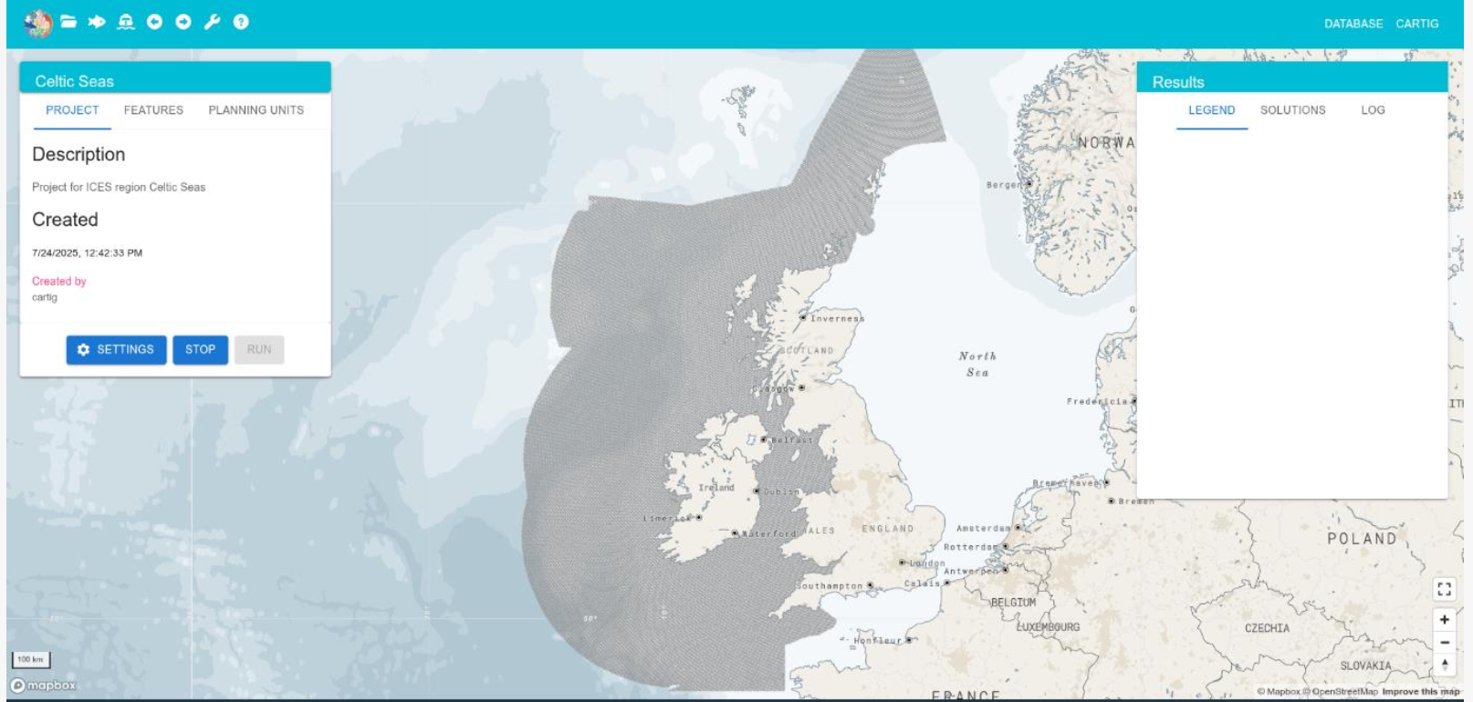 Fig. 1. The BioProtect Marine Planner project page brings planning grids, features, activities and scenario results into one interactive workspace.
Next steps
The next stage will focus on trials, feedback collection and further refinement ahead of prototype v2 at M36. Documentation, tutorials and user guides will also be developed to support uptake, while future analytical improvements may include more advanced optimisation options and constraints.